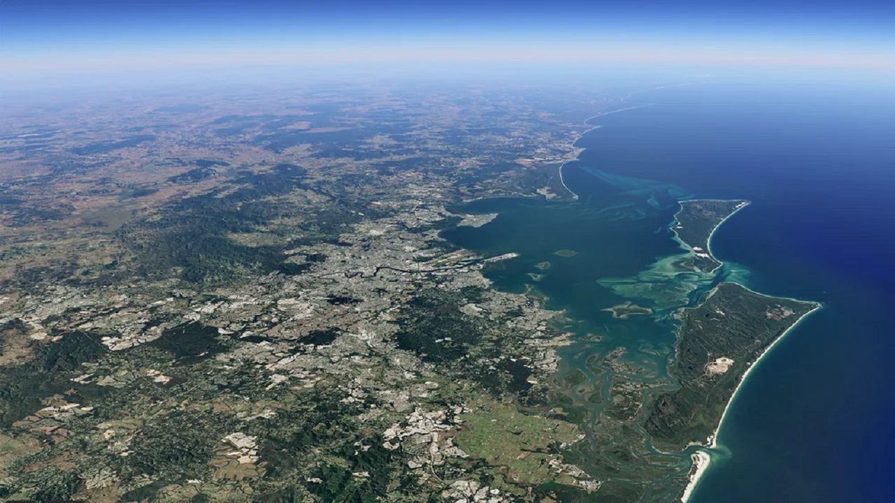
If you’ve always wanted to watch the evolution of the orb monster over a few decades to the present, you can finally do so with the update of the Google Earth timelapse function.
Google Earth timelapse
Thanks to this feature, users can observe the changes of the Earth in the last decades, arriving to view the images of the last two years, 2021 and 2022, thanks to a recent update.
In particular, the timelapse goes from 1984 to 2022thus covering a period of approx 40 years. To make it possible is one interactive map in 4Dmade up of millions of satellite photos.
It is a useful tool not only for the more curious, but for understanding some issues such as climate change and the destructive hand of man.
For example it is possible to notice how the national forest of PermitCalifornia has changed dramatically not only from wildfires that have scarred the landscape, but also from massive logging.
There are, however, also good examples, such as the offshore wind farms a The middle groundin Denmark, or a huge solar system a GranadaSpain.
Google Earth’s timelapse function is also useful for teaching purposes. From researchers to teachers, anyone can take advantage of the huge library of over 800 videos for more than 300 positions, thus allowing even those born in more recent years, such as generation Zto observe the changes of the last 40 years.
Furthermore, and this is certainly one of the most interesting data, the timelapse images offered by Google Earth were also used for a documentary: The Territoryfrom 2022. It is a film aimed at denouncing the massive deforestation of the Amazon and its effects on local communities and tribes.
How Google makes it all possible
Timelapse in Google Earth is possible thanks to the use of the program Landsat owned by NASA and the United States Geological Survey, in addition to the program Copernicus of the European Union with its satellites Sentinel.


Leave a Reply
View Comments