
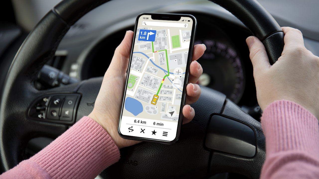
There are many GPS navigation apps for your smartphone, but it can be difficult to choose the best ones and weigh the pros and cons of the features they offer. So here’s what they are best navigation and map apps.
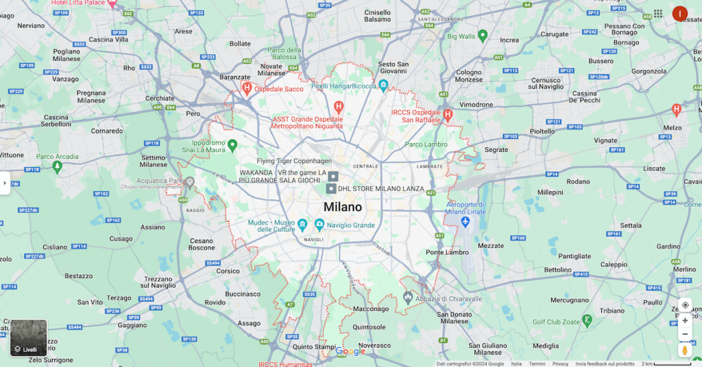 Google Maps
Someone app they only act as navigators, while others offer extra features such as sharing your location on social media or the ability to track walking and driving routes. Some have free basic versions, while many offer more paid premium features, available on a monthly or annual basis.
Many of them also work without an internet connection: you can download the map on your phone and use the navigator even when you don’t have access to the internet, thanks to the GPS signal from your smartphone.
Best free navigation and map apps
Google Maps
Google Maps is one of the points of reference when it comes to better navigator and maps app of Android systems, and more. The navigation service stands out for its ability to provide constantly updated maps, access to Street View and a route recalculation system enriched by the timely reporting of speed cameras.
What makes Google Maps particularly appreciated is its versatility, as it adapts to different modes of travel, whether you are driving, walking, cycling or using public transport. The real-time display of the traffic situation and the estimate of the arrival time based on the chosen vehicle represent just some of the features that place it at the top of the list of favorites among users.
However, like any tool, Google Maps It has its downsides. Many users complain about the lack of direct sharing features on social platforms, a detail that could make the difference for those who love sharing their travels online. Some criticism also focuses on the accuracy of directions, with reports of delays or errors in instructions, causing occasional orientation difficulties.
Another aspect to consider is the impact on the phone’s battery consumption, a problem especially known in situations of prolonged GPS use. Additionally, some users note that if they deviate from the suggested route, theapp tends to insist on taking you back to the original path rather than proposing quicker solutions.
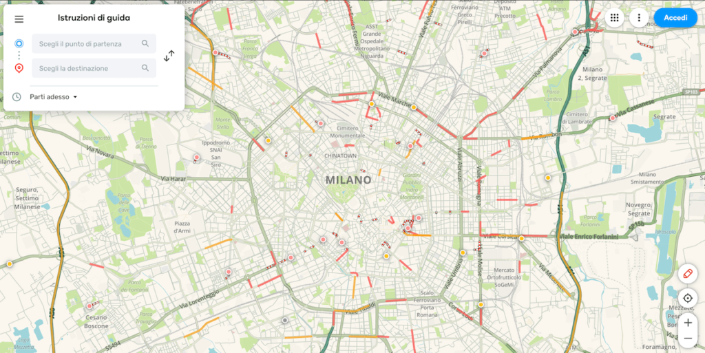
Waze
Waze, available on both Android and iOS, presents itself as a free resource with an interesting feature: speed camera reporting. However, what really sets it apart from all the others navigator and maps app it’s real-time traffic information, powered by users themselves.
At the base of Waze in fact, there is the “community” function, in which it is possible to create your own account and enter information in real time to warn other users of out-of-date works in progress, checkpoints or traffic. Once you open the map, you can also view the location of other Waze users near your location. Despite the very “social” components, theapp it is completely free and among the most famous and used after Google Maps.
There is the ability to receive instant updates on accidents, roadworks, road closures and other traffic-related details. This allows users to make informed decisions and opt for alternative routes, reducing travel time. Furthermore, it offers the convenience of sharing updated fuel prices and allows you to connect the app to Facebook to publish the user’s location in the profile.
However, like any application, it also has some critical aspects to consider. Icons for road construction and other obstacles can clutter the map, making the road view less clear. The social aspect, if not managed correctly, can turn into a source of distraction, especially if you receive many notifications with sounds. Furthermore, theapp requires continuous updating with new information, which can impact the battery life of your device.
 Waze
Waze
Maps.me
If there is aapp that is aimed at adventurous spirits, that is without a doubt Maps.mecon maps high-quality products available worldwide, making it the ideal companion for globetrotters. The advantages of this application are many, starting from the wide range of functions offered. From auto-follow mode to turn-by-turn directions and real-time traffic data, these maps they guarantee precision that does not go unnoticed, updated daily by millions of users.
But the real gem of this one appperhaps less known than others, is its complete offline functionality, which includes not only the navigationbut also the search for places such as restaurants or ATMs, allowing users to explore the world without having to constantly depend on an internet connection.
The maps from Maps.me they are powered by OpenStreetMap and, not to be overlooked, they are completely open source. This gives the app a transparency and collective collaboration that adds a further layer of value to its offering: although it may not enjoy the same fame as some counterparts, Maps.me it’s a navigator of a high standard that certainly deserves consideration.
Here We Go
Here We Go It stands out for its ability to work offline, an element that characterizes its particularity. Equipped with maps extremely detailed, it offers a three-dimensional view of the most famous monuments and provides clear indications on new one-way streets or road bans.
With coverage that extends to over one hundred countries, it also includes detailed information such as driving directions, public transport fares, car sharing costs and train and bus timetables.
When you enter a route, the application carries out a comparative analysis of the available alternatives: car, bicycle, on foot, taxi and public transport, in order to identify the quickest and most economical solution. Furthermore, it is able to warn you if the route is mainly flat or if it involves a route at high altitude.
Public transportation information covers over 1300 cities worldwide, including North America and Europe.
Among its strengths, the possibility of using it offline on a global scale emerges as a distinctive element. Furthermore, the maps they can be customized to the user’s needs, offering an additional level of flexibility and efficiency. However, some aspects could be improved, starting from the user interface, the search function and other features that could benefit from a boost.
 Here We Go
Best paid navigation and map apps
TomTom Go
TomTom it is a real institution in the world of navigators and maps, known mainly for the physical devices that have accompanied drivers for years. But the company was able to upgrade and also move into the digital world with one of the best navigation and map apps TomTom Go.
The most appreciated aspect of this application is the ability to provide real-time traffic information, enriching the driving experience with clear and precise voice navigation. L’app It can also be used offline and allows you to explore 3D maps, adding a tactile dimension to navigation, improving understanding of the route.
A touch of internationality manifests itself in the presence of maps for other countries, a significant advantage for those who like to venture beyond national borders.
Despite theapp is free, full use of its features is limited to a maximum of 50 miles – approximately 80 km, making an annual subscription of 19,99 euro the year. This aspect could be a deciding factor for those looking for a long-term solution and could impact the overall rating of the app.
Compatible with both iOS and Android, the GPS device maker’s app fits seamlessly into the two major smartphone ecosystems, ensuring easy and immediate access to a wide range of users.
Sygic
Sygic is an established and trusted offline navigation app in Google’s vast Play Store ecosystem (also available for iOS). What makes this application a point of reference is its strategic partnership with TomTom, ensuring maps offline for any corner of the world. This collaboration results in a reliable and comprehensive resource for users looking for an advanced navigation solution.
L’app adapts to anyone’s needs, offering not only free updates maps, but also voice-guided navigation and the flexibility to use GPS even on foot. However, the features of this app go beyond just getting from A to B. The internet connection turns into an advantage, automatically alerting you to the nearest car parks and petrol stations, as well as providing valuable speed camera information for safer driving .
Sygic is available with two options: a free version and a paid version 19.99 euro per year, which can be tried for free for 7 days. Its intuitive interface and the ability to customize various aspects make it an ideal travel companion, suitable for both novices and more experienced users.
L’app it also offers extra features like navigation towards geolocalized positions or the request for assistance nearby, the…