
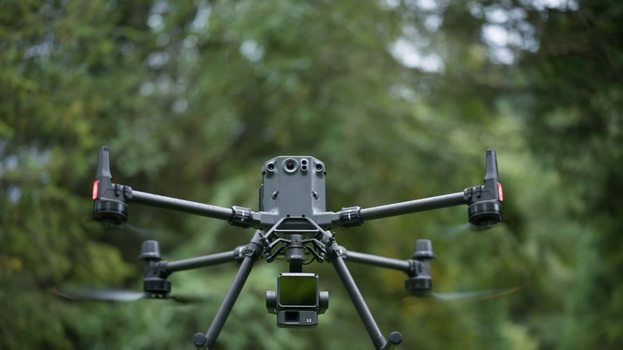
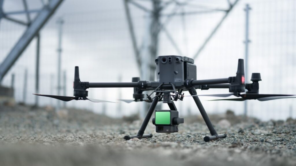
DJI announces the launch of its latest product, the DJI Zenmuse L2. This highly integrated system LiDAR represents a step forward in High precision 3D data collection for business professionals using DJI Matrice 300 RTK or Matrice 350 RTK platforms.
DJI Zenmuse L2, the new drone with integrated LiDAR
The Zenmuse L2 features a number of significant improvements over its predecessor, the DJI Zenmuse L1. The system is designed for a wide range of applications, including land surveying, mapping, electrical inspection, forestry and infrastructure management. With its LiDAR technology, professionals can obtain large-scale three-dimensional spatial information quickly and efficiently, significantly reducing the workload in the field.
The features of the new drone
The LiDAR system is highly integrated and includes a module LiDAR updated, one 4/3 RGB CMOS camera and a three-axis gimbal. This combination offers accuracy, efficiency and reliability in data collection. The LiDAR system is ready to use right from the moment you turn it on thanks to the system High precision IMU, developed internally by DJI. This IMU offers precise information on position, speed and attitude, significantly contributing to operational precision.
One of the most impressive features of the Zenmuse L2 is its improved detection range. This system detects objects from 250 meters with 10% reflectivity and 100k Luxand even up to 450 meters with 50% reflectivity and 0k Lux. This represents a 30% increase compared to its predecessor, allowing for greater safety and greater operational efficiency.
Additionally, the Zenmuse L2 LiDAR system offers the ability to penetrate dense vegetation, capturing more points of the ground under the foliage. This is critical for applications such as forest monitoring and environmental management.
Advanced features
The Zenmuse L2 system is capable of reaching a maximum point cloud output speed of 240,000 points per second, enabling extremely efficient 3D data collection in a short period of time. Furthermore, the RGB camera offers high-quality images with a pixel size of 3.3 μm and a resolution of 20 MP. The camera can take up to 200,000 photos, reducing overall operating costs.
The solution supports the software DJI Pilot 2, which offers three display modes: RGB, point cloud, and a combined point cloud and RGB display. These modes allow operators to achieve operational results intuitively.
Furthermore, the activation of the Laser Rangefinder (RNG) provides information about the distance between the LiDAR module and the object in the center of the field of view (FOV), increasing flight safety. Operators can also choose between four real-time point cloud coloring modes: Reflectivity, Height, Distance e RGB.
The DJI Zenmuse L2 will soon be available for purchase at store.dji.com and DJI Enterprise retailers. This highly integrated LiDAR system will simplify 3D data collection across a variety of professional industries, offering superior accuracy, efficiency and reliability.