

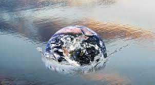
Earth’s shape and gravitational field were used as the basis for an internationally valid sea level
How high is Mount Everest? 8848 meters? 8844 meters? Or 8850 meters? For years China and Nepal have disagreed. In 2019, Nepal sent a team of geodesicists to measure the highest mountain in the world. A year later a Chinese team climbed to the top. Last December the two governments jointly announced the result of the new measurement: 8848.86 meters.
When zero is not always zero
The sea level it is the way to define the point on which to measure the height of the objects. But this parameter is flawed: in fact there is no fixed definition. Each country uses different values based on its own tides. As a result, the sea level in Germany is 31cm higher than Italy, 50cm higher than that used in Spain and a whopping 2.33m higher than Belgium, where zero height is based on Ostend’s low tide. . When the topographic maps are used for travel and hiking, nobody notices these problems. But for the specialists of geodetics trying to get to a universally accepted height of objects, sea level can become a big problem. Furthermore, when designing large cross-border structures, engineers should take this into account to avoid errors that could compromise the stability of the structures. For example, on theHochrhein Bridge, a bridge linking Germany and Switzerland, such a discrepancy was only noticed at the last moment causing inconvenience in the implementation.
From space revelations to sea level
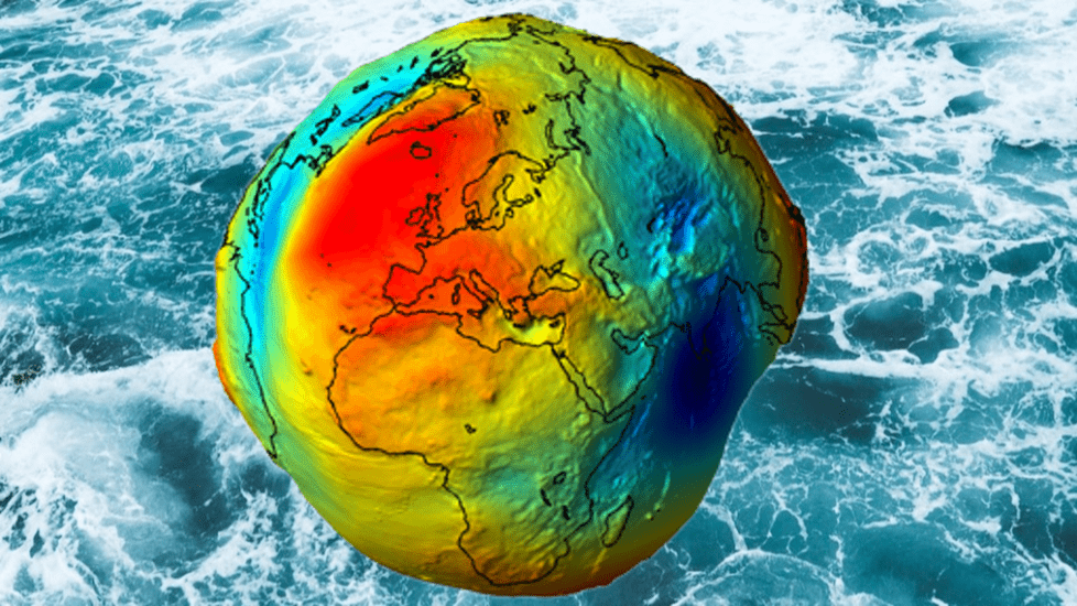
The introduction of an internationally valid height reference system is actually long overdue. What is needed is obvious: a universally accepted zero. The International Height Reference System (IHRS) looked for a way to calculate it. Using the spatial revelations of the shape of the Earth he was born in gravitational field estimated a global mean sea level. The shape of the Earth is in fact close to the spherical shape, but flattened at the poles and slightly protruding at the equator. Due to its rotation and the uneven distribution of the masses, the resulting irregularities in the gravity field are the basis for the calculation of this height. In fact, it is these factors that determine the distribution of water in the oceans. THE mathematicians and physicists have assumed that the earth’s surface is completely covered with water, so they have been able to calculate a hypothetical mean sea level and consequently a “zero height” valid throughout the globe.
Redrawing the maps of the globe?
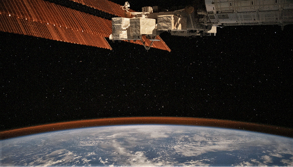
Every world map must therefore be redesigned? It probably won’t be necessary. For most uses the existing maps will still be fine. But it is important for researchers to find some universally recognized maps for international uses. However, the authors believe it will not be such a dramatic endeavor. In industrial countries, in fact, measurements of severity for decades and the deviations are quite small, only in the order of decimeters. But for large projects, even these small deviations can cause serious problems. Consequently, they are confident that the new reference system will be accepted quickly. This sea level calculation was only possible thanks to the availability of data from international satellite missions, such as that of satellite dell’ESA GOCE (Gravity field and steady-state Ocean Circulation Explorer).
Follow us in our section sciences for other news!